ABSI exists because the gap between “we have drone footage” and “we have a decision” is where most aerial work dies.
A folder of 600 JPEGs is not an asset. It is a liability someone has to sit down and interpret. We built the company around the opposite premise: the flight is the cheap part, and the deliverable — a georeferenced, measurable, navigable reconstruction — is the entire point.
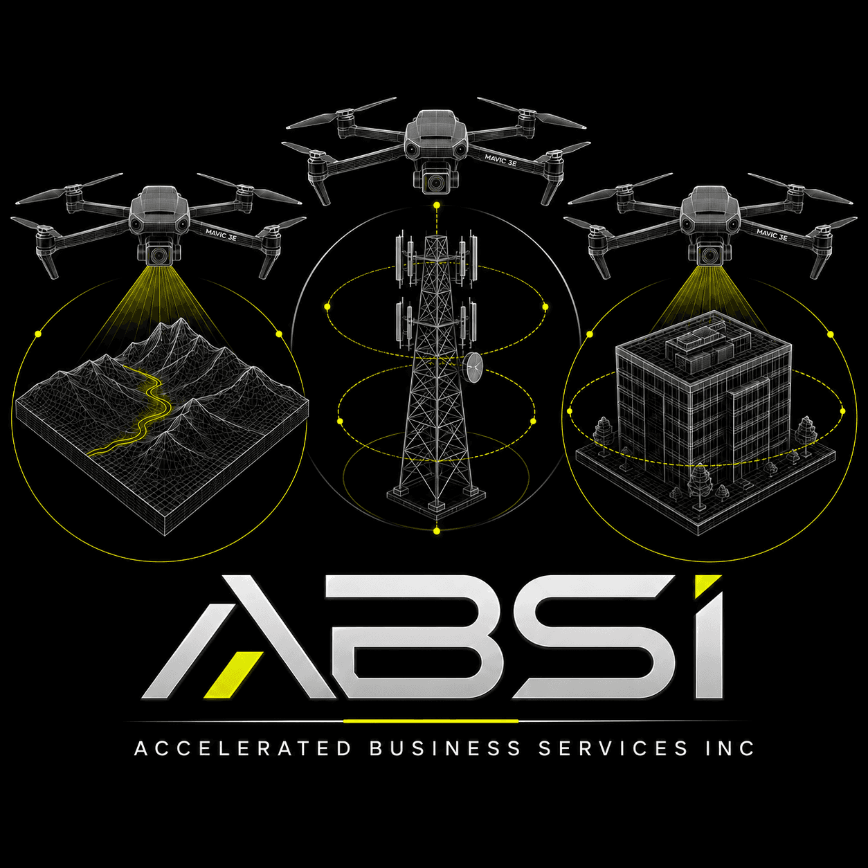
That discipline is why the same crew can close out a carrier tower on Monday, model a quarry face on Tuesday and hand a broker an embeddable twin of a $4M listing on Wednesday. The asset classes differ. The standard does not.
We fly insured, certificated and waiver-capable. We publish our accuracy against surveyed control instead of asking you to take our word for it. And we release your data in open formats, because charging a client to open their own building is not a business model we want.
Credentials
- FAA Part 107 certificated remote pilots
- §107.29 night and §107.39 over-people waiver capable
- $5M aviation liability, certificates on request
- RTK / PPK survey-grade positioning
- Nationwide deployment, same-week mobilisation